
Library
Documents & maps
The authors' earlier papers and maps, gathered from the original Book of Mormon Lands site.
Many of these papers were written before the 2026 book, and some details changed as the research went on. Where they differ, the book reflects the authors' current view. Read the full 2026 book (PDF).
Maps
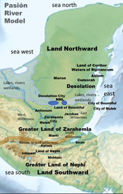
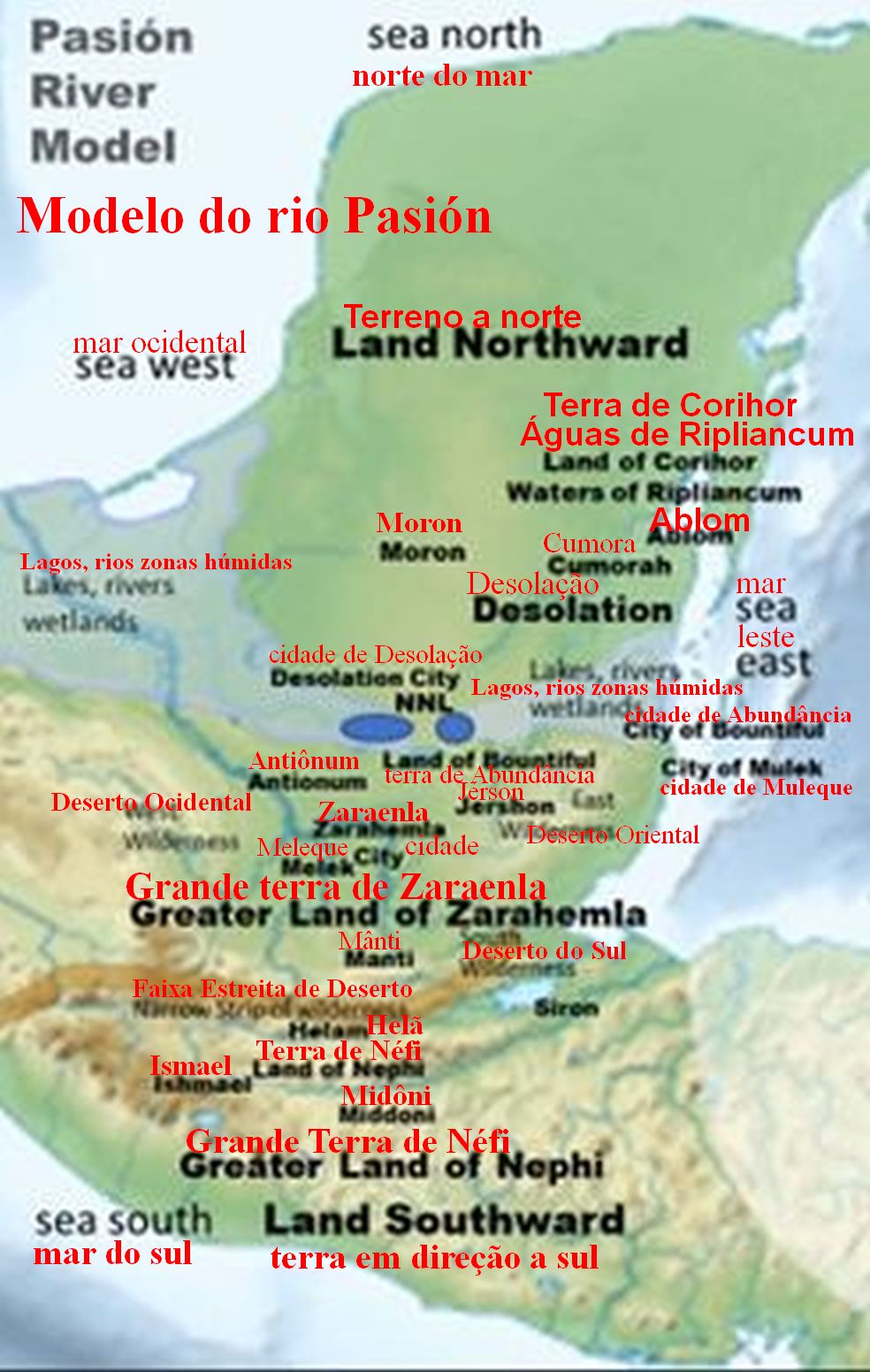
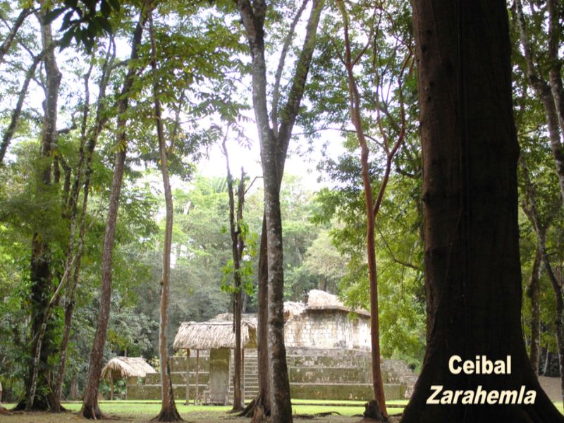
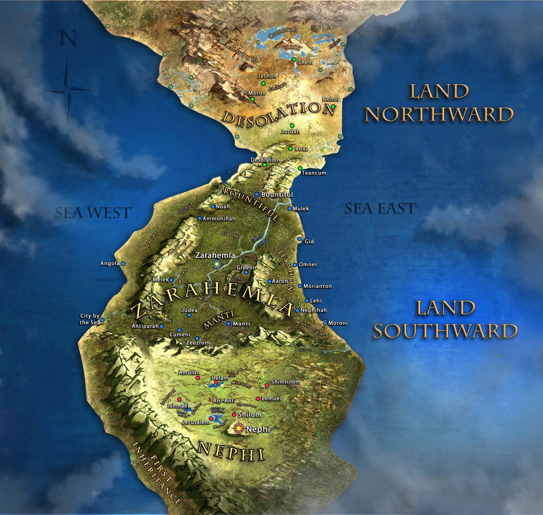
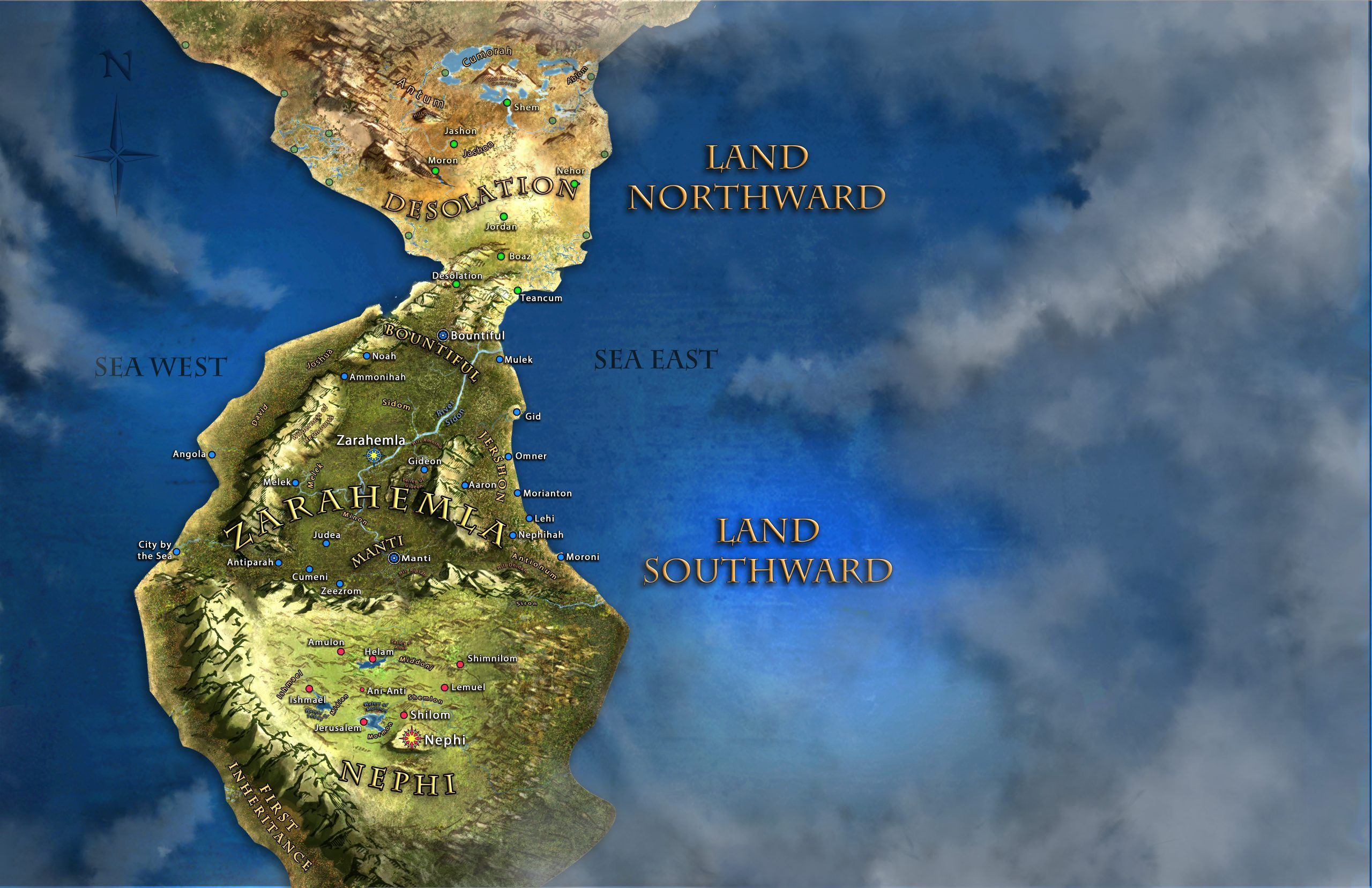
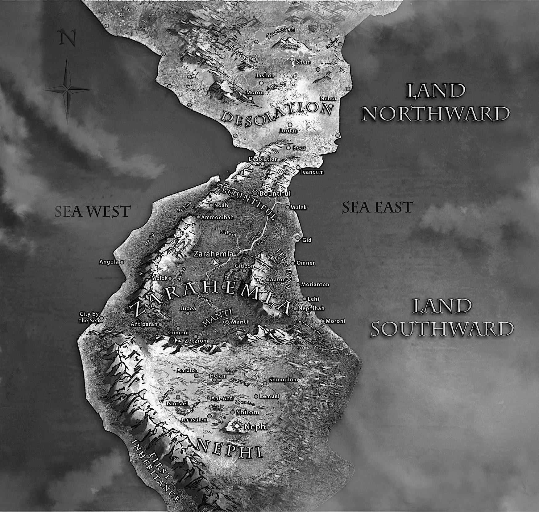
Twelve key reasons
The authors' short papers on the strongest points of the model.
- Book of Mormon Audit
- Upright hour-glass
- The City of Zarahemla
- Christ's Visit
- The Jaredites "First Landing"
- Kings of Tikal
- The 375 War
- The Maya Entrada
- The Hill Cumorah
- The Demise of a Nation
- The Lynch Pin
- The Land of Nephi
How the model started
Places, one at a time
Short papers on individual lands and cities, with the scored list of locations.
- List
- List of Locations - PDF
- Antionum, Land of
- Desolation, Land of
- Melek, Land of
- Narrow Neck
- Nephi, Land of
- Northward, Land
- Ramah, Hill
- Riplah, Hill
- Riplah, Hill (Oct 29, 2026, current version)
- Riplah, Hill (Oct 28, 2026, earlier version)
- Sea East
- Sidon, Headwaters of
- Wilderness, East
- Zarahemla, Land of
Nephite history
- Evidence for Pacific Crossing
- Ismael's Grave
- Land of Nephi
- Forest of Mormon
- Baptism Pool
- Alma's Escape from Helam
- Sons of Mosiah Locations
- Lost Men of Limhi
- The Waters Came Up
- Finding Jerusalem
- Mount Antipus
- City of Zarahemla
- Sidon River
- Land of Bountiful
- Land of Manti
- Many Churches in the Land
- Scriptural Connections
- Hill Riplah War
- The Final Nephite War
Further evidence
- Mulekites
- Catastrophic Events
- Christ's Visit
- City of Bountiful
- Desolation City
- Fortifications
- Hagoth's Story
- Horses
- Monkey Face Statue
- Military Outpost
- Surrounded by water
- The Madrid Codex